Welcome to the Idaho Aviation Association Store!
We are unable to ship internationally, please use an address that we can ship to in the United States.
-
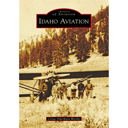
Idaho Aviation Book (Images of Aviation)
Regular price $24.00 USDRegular priceUnit price per$24.00 USDSale price $24.00 USD -
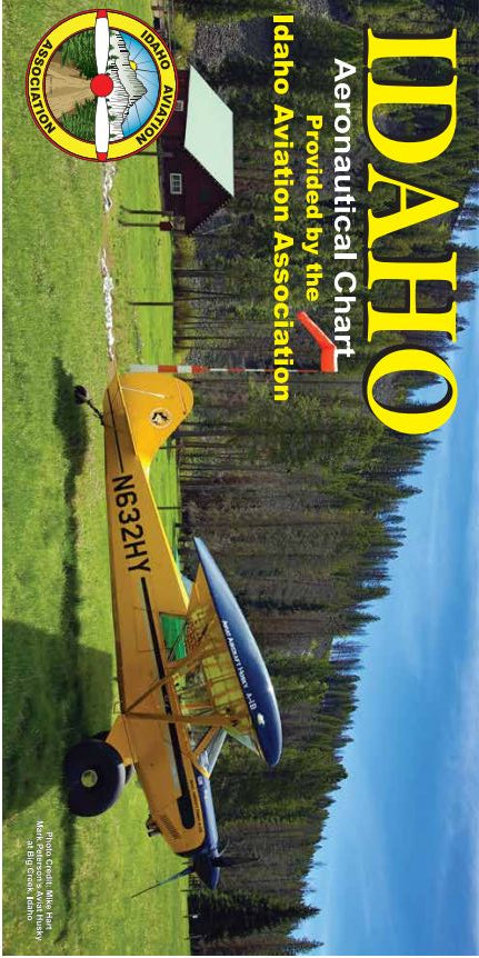
Idaho Aviation Chart - New 2023 Edition
Regular price $18.00 USDRegular priceUnit price per$18.00 USDSale price $18.00 USD -
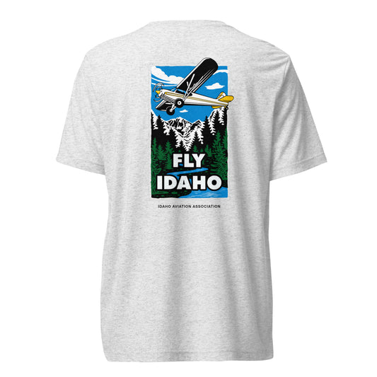
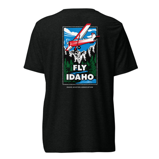
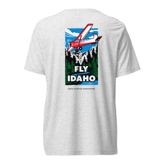
Fly Idaho Supercub Light-Weight T-Shirt with White IAA Logo
Regular price From $27.90 USDRegular priceUnit price per -
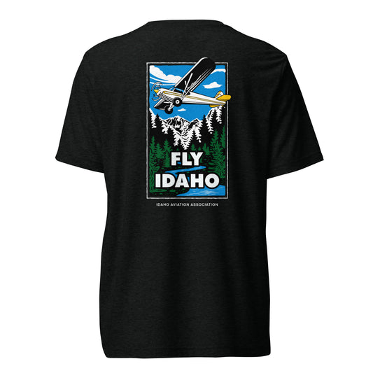
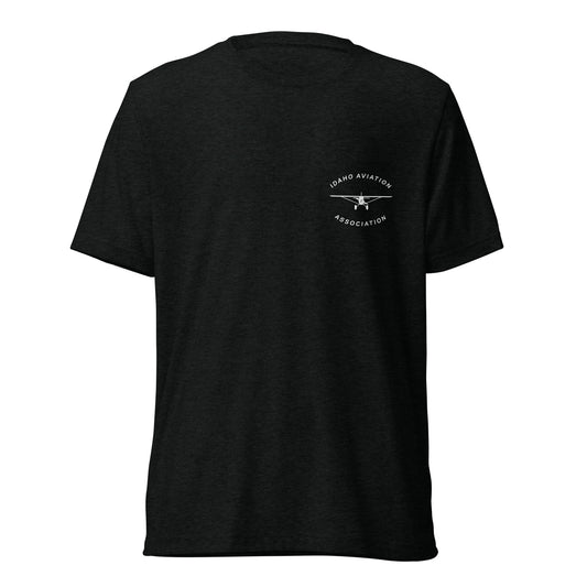
Fly Idaho Supercub Light-Weight T-Shirt with Black IAA Logo
Regular price From $27.90 USDRegular priceUnit price per -
Fly Idaho Cessna Light-Weight T-Shirt with White IAA Logo
Regular price From $27.90 USDRegular priceUnit price per -
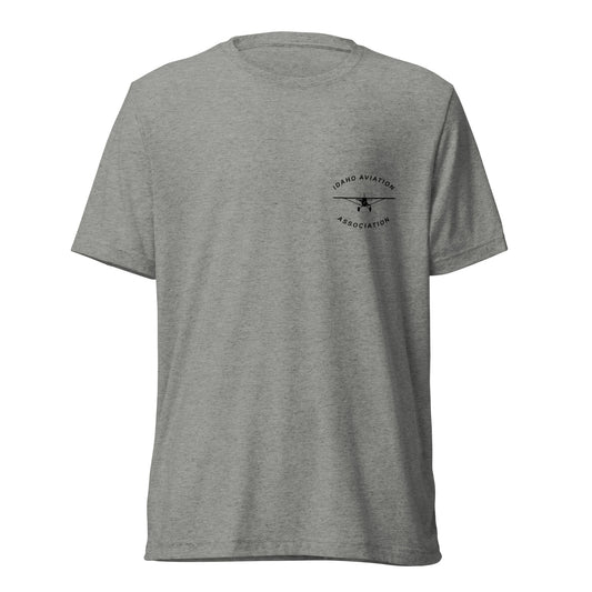
Fly Idaho Cessna Light-Weight T-Shirt with Black IAA Logo
Regular price From $27.90 USDRegular priceUnit price per -
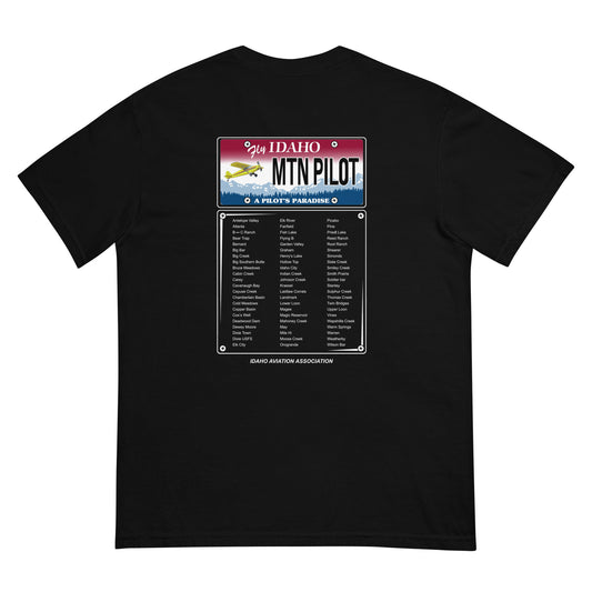
MNT Pilot Heavy 100% Cotton T-Shirt with Black IAA Logo
Regular price From $23.90 USDRegular priceUnit price per -
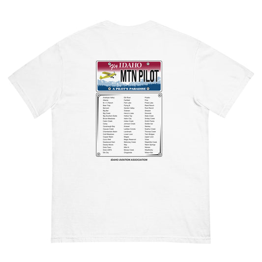
MNT Pilot Heavy 100% Cotton T-Shirt with White IAA Logo
Regular price From $23.90 USDRegular priceUnit price per -
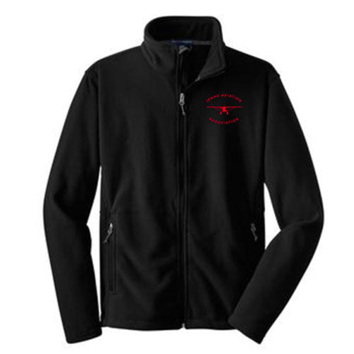
Men's Black Fleece Jacket with Red IAA Logo
Regular price $55.00 USDRegular priceUnit price per$55.00 USDSale price $55.00 USDSold out -
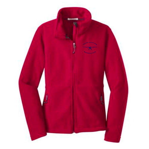
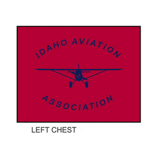
Women's Red Fleece Jacket with Navy IAA Logo
Regular price $55.00 USDRegular priceUnit price per$55.00 USDSale price $55.00 USDSold out -
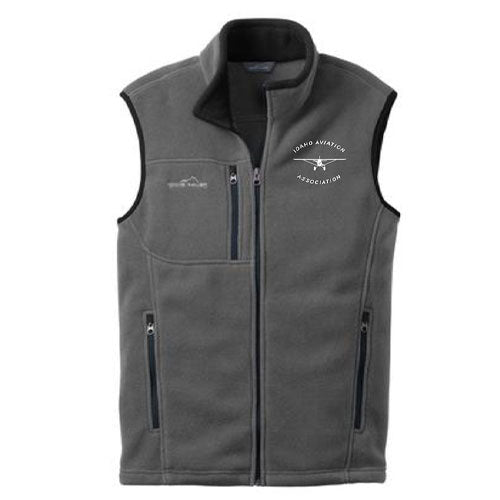
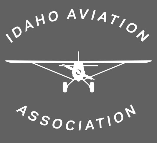
Men's Gray Fleece Vest with White IAA Logo
Regular price $55.00 USDRegular priceUnit price per$55.00 USDSale price $55.00 USDSold out -
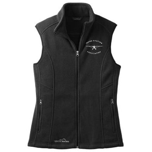
Women's Black Fleece Vest with White IAA Logo
Regular price $55.00 USDRegular priceUnit price per$55.00 USDSale price $55.00 USDSold out