Airport Identifier:
O29Elevation:
1171Latitude:
45.625Longitude:
-116.475This site is located along the Snake River on the Oregon side. It has two short intersecting turf runways, 13/31 is 680’ X 50’ and 16/34 is 831’ X 50’. The nearby house & outbuildings are an USFS administrative site and not for public use. Dispersed camping is allowed at this airstrip. If you swim the river, there are developed camp sites at the Pittsburg Landing Campground on the Idaho side. This low elevation canyon-bottom airstrip can get very hot and turbulent in the summer. With calm winds land runway 16 to take advantage of the uphill grade. Early morning takeoffs and landings are recommended. With calm winds, takeoff runway 34 to take advantage of the downslope. Watch for sinking air over river. Watch for waterfowl and big game animals on the airstrip.
Announce on CTAF 122.9
Airstrip Features:
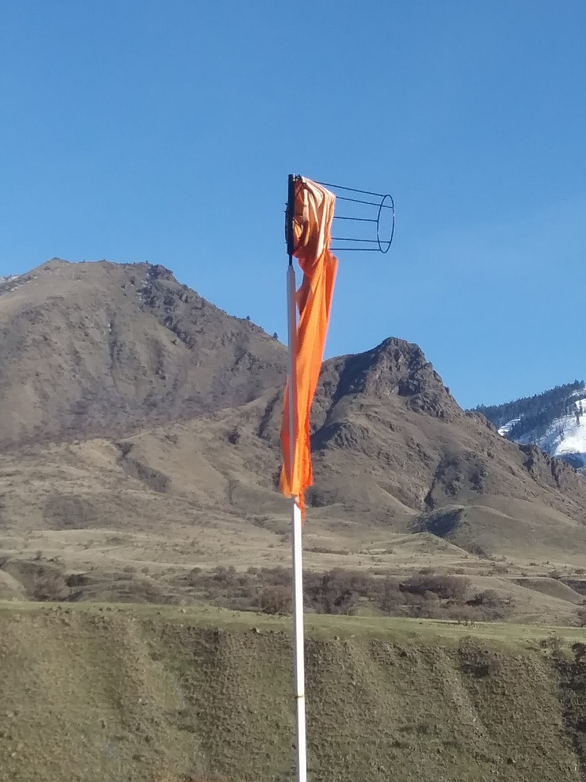
Windsock
Classification:
Primitive Classification
Airstrips have basic navigational aids such as windsocks and runway markers and some limited user facilities. Typically located in remote settings but may be accessed by low-standard road.
Primary Runway:
16/34Length:
831Type:
TurfStuck 'N Stay Emergency Accommodations
IAA Member Hosts
Member Name
Bill Ables
Member Name
Tom Richardson
Airstrip Manager:Brandon Culley, USFS |
|---|
District:#2 Lewis and Clark |
|---|
District Director:Bill Ables |
Observation Date: February 11, 2023
Flew into Pittsburg Landing and replaced the badly worn windsock.
Observation Date: January 16, 2022
Flew into Pittsburg Landing and noted the windsock is pretty well shredded. Still providing some decent wind information but replacement should be considered soon.